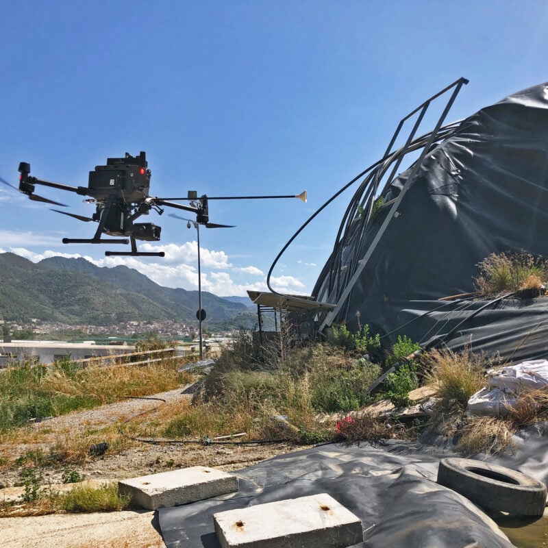
The use of unmanned vehicles allows for the acquisition of essential georeferenced data and information right from the design phase, making them available for subsequent stages of verification, execution, and ongoing monitoring. The acquired data is digitally stored and geographically represented on the territory using GIS-compliant tools.
DJI MATRICE 300 RTK
The DJI Matrice 300 RTK-based drone system allows us to perform quick surveys over large areas to identify hotspot zones.
The data collected through automated and pre-programmed flight plans enables us to monitor a site over time, verify changes, and obtain specific mappings for geographic areas. Significant changes can be analyzed with 2D and 3D charts. The detection system consists of remote sensing using a DJI Enterprise Matrice 300 RTK drone, paired with a multispectral sensor capable of recording data on humidity, pressure, temperature, and gases such as carbon dioxide, carbon monoxide, methane, and hydrogen sulfide, while also measuring the temperatures of the detected gases.


