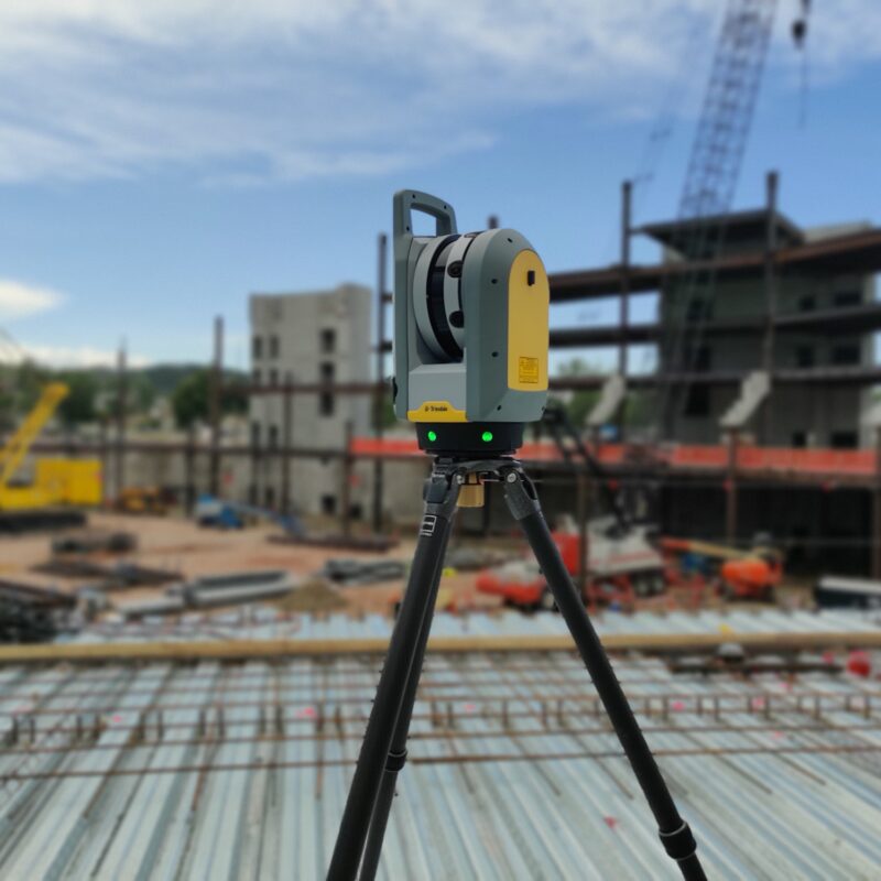
In the phases of survey and operational monitoring, the use of drones allows us to access facility sections or terrain that are difficult to inspect. We carry out precision surveys of areas with complex morphology, integrating traditional technologies such as total stations, drones, and laser scanners. The flow of various digital data is compared and integrated using specific software, providing a complete georeferenced model (DEM, DSM, DTM) with centimeter-level accuracy that perfectly reflects the state of the locations.
